Produced by the United States Geological Survey North American Datum of 1983 (NAD83) World Geodetic System of 1984 (WGS84). Projection and 1 000-meter grid: Universal Transverse Mercator, Zone 14S 10 000-foot ticks: Kansas Coordinate System of 1983 (south zone)
5
35'
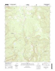
Ellinwood SW
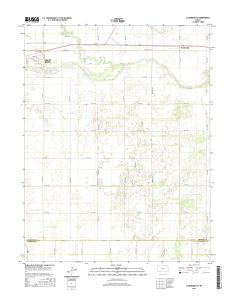
This map was produced to conform with version 0.5.10 of the draft USGS Standards for 7.5-Minute Quadrangle Maps. A metadata file associated with this product is also draft version 0.5.10 Hudson NW
E. SE 110 ST. N. E. 6. 0. A. V. E. SE 140 ST. N. E. 3. 0. A. V. E. NW 160 RD. S. E. 7. 0. A. V. E. 60 ST. S. E. 8. 0. A. V. E. S. E. 9. 0. A. V. E. SE 170 ST. NE 160 RD.
Arkansas River. A rkansas River. A rk a n sas River. A rk a n sa s. R iv e r. Ellinwood. PO. Grove Park Golf. Course. Saint. Josephs Cem. Big Salt. Marsh. Alden.
R. D. £¤259. 6100 0. £¤259. ¬«4. 2840 4. BUFF A. L O. R. D. 61730. 61750. 6. 17. 3 ... Mountain Fork. Big Eagle Creek. M o u n ta in. F o rk. M o u ntain. Fork. Big.
Bellville School. Great Bend Water. Treatment .... Census, IBWC, IBC, USGS, 1972 - 2012 ... 10 000-foot ticks: Kansas Coordinate System of 1983 (south zone).
E. SE 50TH RD. SE 10 RD. N. E. 5. 0. T. H. A. V. E. SE 20TH RD. BARTON DR. 10TH ST. STAFFORD CO. STAFFORD CO. BARTON CO. BARTON CO. Arkansas River. A rkan sa s. R iver. Walnut. C r n ut. C r. GREAT. BEND. Dartmouth. FEET. 15'. 4239. 45'. 24. 42'. 5.